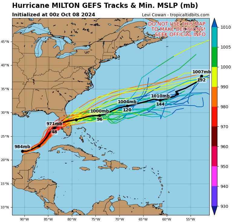
Milton Downgraded to Cat. 4 As It Heads For Florida

While Hurricane Milton is still an extremely dangerous category-four hurricane, its downgrade has offered at least a mild amount of relief. Milton is expected to make landfall on Florida’s Gulf Coast Wednesday night or early Thursday morning.
Milton weakened overnight to a Category 4 hurricane. The storm is still an “extremely dangerous” threat as it churns near the Yucatan Peninsula, barreling toward Florida’s Gulf Coast this AM, with landfall impacts expected on Wednesday night or early Thursday morning.
According to the National Hurricane Center‘s (NHC) 0500 ET update, Milton was downgraded from a Cat. 5 to Cat. 4, with maximum winds up to 155 mph while traversing the warm waters of the Gulf of Mexico at 12 mph with an east-northeast heading. According to a report by ZeroHedge, the latest storm data shows Milton is completing an eyewall replacement cycle. This means the strongest winds extend further out from the center as the eye grows in size.
Hurricane Milton has weakened by 30 mb over the last 5 hours due to eye wall replacement. Wow. pic.twitter.com/mQKqvfIwqM
— Max Velocity (@MaxVelocityWX) October 8, 2024
The Weather Channel’s Jim Cantore warned on X, “Focus on the surge NOT the category!”
Focus on the surge NOT the category! https://t.co/0nf1ZCtLwD
— Jim Cantore (@JimCantore) October 8, 2024
However, a lot of people may still focus on the category because that’s what the mainstream media continually harps on. Either way, it is always best to remain prepared for what could happen.
Hurricane Preparedness: Start Before The Storm
NHC’s peak storm surge forecast shows Milton could generate a wall of water as high as 15 feet across Tampa Bay, Sarasota, and Venice.
Computer models are shifting south with landfall impacts from Sarasota to Port Charlotte instead of the initial forecasts for Tampa.

On Sunday, Florida launched the largest evacuation since Hurricane Irma in 2017. Hurricane warnings have been posted for the region.
Stay prepared and vigilant, as we’ve seen before, hurricanes can change quickly, getting calmer or more chaotic.
Joe Biden has some “great” advice for hurricane season of 2021:
Biden’s Hurricane Preparedness Tip: Get Vaccinated!
Read the full article here


